
Tracking Trail Use for Smarter Planning
Decisions about trail design, funding, operations, maintenance, and promotion depend heavily on one thing: knowing how many people use trails, where they go, and when. Trail usage data helps local governments, state agencies, and community groups justify investments and shape the future of New York’s trail networks.
Since 2005, we’ve used trail counts to move beyond anecdotes and show real, measurable evidence of trail popularity. In partnership with the New York State Canal Corporation, local municipalities, and agencies like the Department of Health and regional planning organizations, we’ve conducted counts in dozens of locations across the state.

A Survey of Greenway Trail Counting Practices in NYS
Quantifying Trail Use
Published in October 2025, this report provides the first comprehensive overview of trail use counting practices across New York State.
Who’s On The Trail
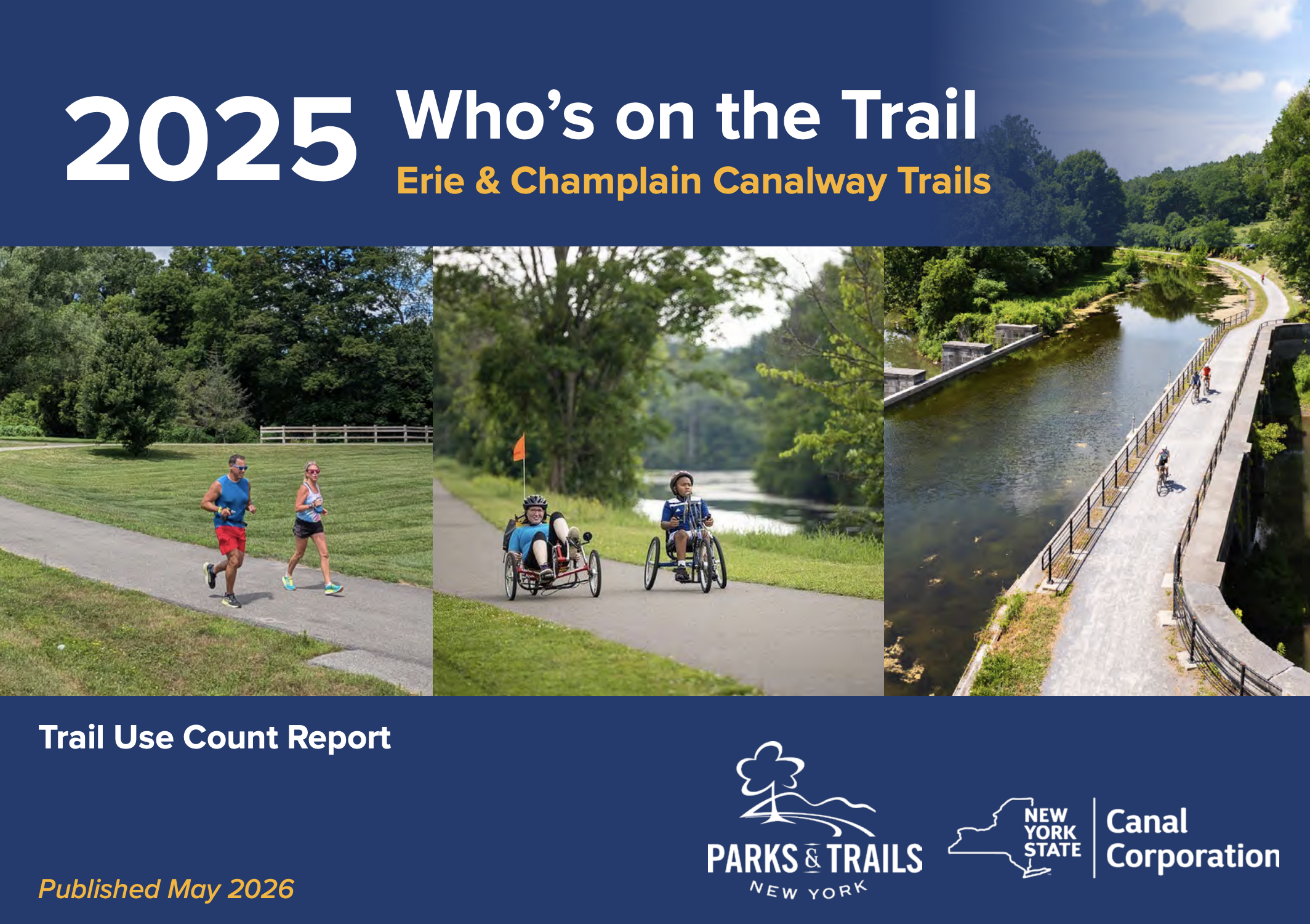
Canalway Trail
Our annual Canalway Trail reports explore trail usage along the Canalway Trail, dating back to 2005.

Who’s On The Trail
Genesee Valley Greenway
Who’s on the Trail: Genesee Valley Greenway helps local communities understand how the trail impacts nearby towns and how to advocate for continued support.